Skip to content
Government Offices
Assessor
Attorney
Clerk/Auditor
Commission
Recorder
Sheriff
CERT
Search & Rescue
Fire Protection
Homeland Security
LEPC
Treasurer
Contact Your Representatives
Department Directory
Complete Directory
Airport
Ambulance
Archives
Building & Zoning
Care & Rehab
Economic Development
Emergency Management
Facilities
Historic Preservation
Housing Authority
IS/GIS
Justice Court
Landfill
Library
Local Building Authority
Museum
Personnel
Public Lands
Road
Senior Citizens
Swimming Pool
Travel Council
TV/Communications
USU Extension
Weed & Mosquito
Service Districts
Castle Valley
Emery Emergency Medical
Fire Protection
North Emery Water Users
Recreation
Special Service District #1
Online Services
Addressing
DMV Online
ECSO Emergency Mass Notification System Sign-up
Election Information
Emery County Cemetery Info
Emery Water Conservancy District
Health Department
Hunting & Fishing Licenses
Pay a Court Appointed Fine
Plat Maps
Vehicle Registration
Civic Calendars
Administrative Calendar
Board of Education
Commission Meeting
Community Calendar
Community Reinvestment Agency
Council Of Governments
County Holidays
Economic Development Board
Emergency Management System
Emery County Planning and Zoning
Emery County Public Lands
Emery County Trails Committee
Green River Conservation District
Historic Preservation Commission
Library Board Meeting
Local Building Authority
Museum of the San Rafael Board Meeting
Special Events Calendar
Travel Board Meeting
Residents
Care & Rehabilitation Center
Cities & Towns
Castle Dale
Clawson
Cleveland
Elmo
Emery
Ferron
Green River
Huntington
Orangeville
Community Calendar
County Fair
Education
Libraries
Local News
ETV News
Salt Lake Tribune
Deseret News
Museum
Recreation District
Swimming Pool
USU Extension
Visitors
Airport
County Fair
Museum
Swimming Pool
Travel/Tourist Information
Contact
Contact
Feedback
Search
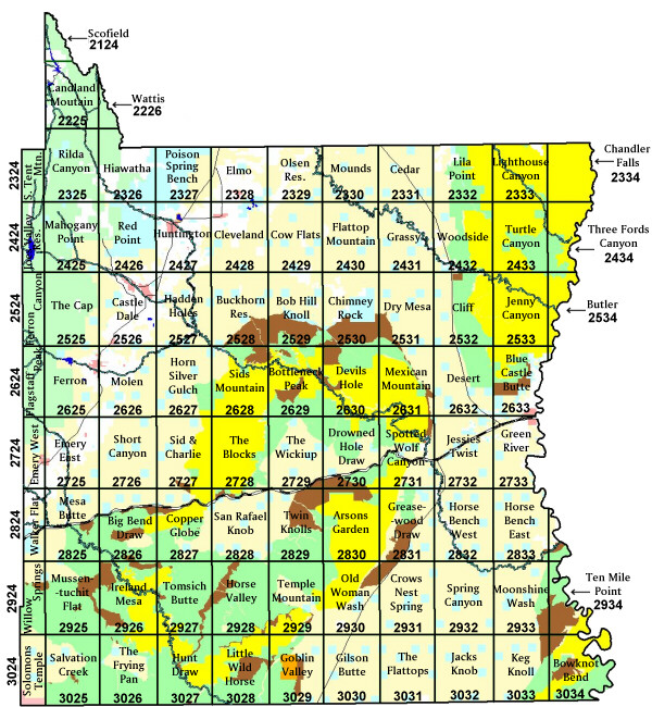
Quad Map of Emery County
GIS Home